Back to: Site Evaluation
There are many great online resources that can help you gather more information about your prospective sites. Most coastal states have dedicated mapping tools that use GIS software to overlay different types of information onto an interactive map. Often, you can select and deselect layers to identify other nearby ocean farms, critical habitat areas, and different jurisdiction boundaries. Some tools even have the capacity to display the kelp bioband in your region, the water depth, salinity, and much more. These tools are often very useful during the permitting process, but can also give you a more detailed profile of your prospective sites. We recommend you start with a preliminary, desk-based review to get a sense of some of the basic environmental characteristics of your region.
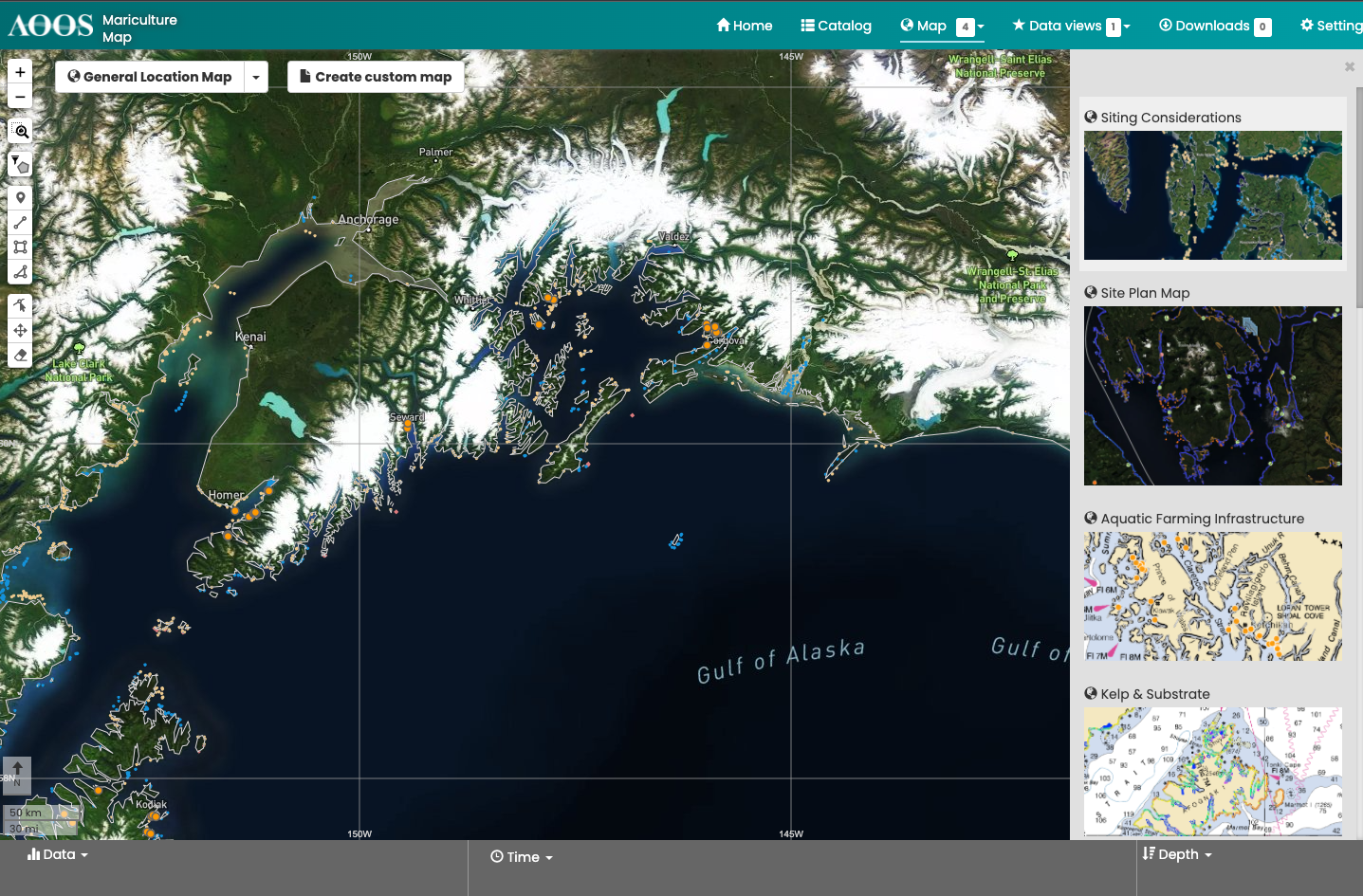
Find the mapping tools available in your state in the Leasing and Permitting tool.